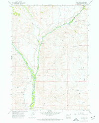
1967 Map of Bain Draw
USGS Topo · Published 1972About this map
The East Fork Wind River and its confluence with Wiggins Fork dominate this landscape within the Wind River Indian Reservation. This 1967 field-checked survey highlights the early ranching and water infrastructure of the region, specifically noted through the path of the Circle Ditch. Local activity is anchored by family-named landmarks and homesteads, including the Finley Ranch, Double Diamond Ranch, and Bain Place. The terrain transitions from the water-rich bottomlands of the forks up to the prominent elevations of Upper Table and Lower Table. These plateaus are dissected by numerous drainages such as Bain Draw and Harvey Draw, where a network of jeep trails provides access through the high country. For the researcher, the map preserves the location of the Dennison settlement and several remote drill holes, reflecting the mid-century exploration of this Wyoming basin.
Find a feature on this map
24 named features on this map. Tap any name to fly to it.
Don’t see what you’re looking for? This feature index may not catch every label — zoom into the map to look around manually.
Map Details
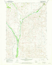
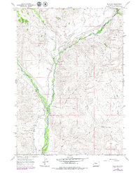
Editions of this 1967 Bain Draw Map
3 editions found
Other maps of this area

1904 · Kirwin
USGS Topo · 1:125,000

1905 · Younts Peak
USGS Topo · 1:125,000

1906 · Kirwin
USGS Topo · 1:125,000

1907 · Younts Peak
USGS Topo · 1:125,000

1909 · Fremont Peak
USGS Topo · 1:125,000

1952 · Wilderness
USGS Topo · 1:24,000

1952 · Blue Holes
USGS Topo · 1:24,000

1955 · Thermopolis
USGS Topo · 1:250,000

1956 · Indian Point
USGS Topo · 1:24,000

1956 · Mason Draw
USGS Topo · 1:24,000