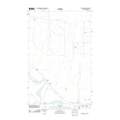
2011 Map of Bainville SE
USGS Topo · Published 2011About this map
The Missouri River cuts across the southern portion of this landscape, anchoring the small settlement of Snowden. This 2011 survey captures a rural Montana-North Dakota borderlands area defined by complex drainage systems and isolated landmarks. The northern reaches are drained by Horse Tied Creek and Deer Creek, while the central portion is carved by the long path of Cedar Creek.
Find a feature on this map
21 named features on this map. Tap any name to fly to it.
Don’t see what you’re looking for? This feature index may not catch every label — zoom into the map to look around manually.
Map Details
Editions of this 2011 Bainville SE Map
This is the sole edition of this map. No revisions or reprints were ever made.
Other maps of this area

1909 · Glendive
USGS Topo · 1:250,000

1953 · Williston
USGS Topo · 1:250,000

1953 · Watford City
USGS Topo · 1:250,000

1954 · Glendive
USGS Topo · 1:250,000

1954 · Wolf Point
USGS Topo · 1:250,000

1957 · Glendive
USGS Topo · 1:250,000

1957 · Williston
USGS Topo · 1:250,000

1957 · Watford City
USGS Topo · 1:250,000

1958 · Wolf Point
USGS Topo · 1:250,000

1958 · Glendive
USGS Topo · 1:250,000