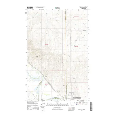
2017 Map of Bainville SE
USGS Topo · Published 2017About this map
The Missouri River carves a path through this borderland region, where the state lines of Montana and North Dakota meet along the boundary of Roosevelt and Williams counties. This terrain is defined by its deep drainage patterns, featuring numerous coulees such as Riprap Coulee and Garden Coulee that feed toward the river valley. The settlement of Snowden serves as a focal point near the river, connected by the Snowden Bridge and the Bainville-Snowden Rd, illustrating the critical role of river crossings in the regional transport network.
Find a feature on this map
36 named features on this map. Tap any name to fly to it.
Don’t see what you’re looking for? This feature index may not catch every label — zoom into the map to look around manually.
Map Details
Editions of this 2017 Bainville SE Map
This is the sole edition of this map. No revisions or reprints were ever made.
Other maps of this area

1909 · Glendive
USGS Topo · 1:250,000

1953 · Williston
USGS Topo · 1:250,000

1953 · Watford City
USGS Topo · 1:250,000

1954 · Glendive
USGS Topo · 1:250,000

1954 · Wolf Point
USGS Topo · 1:250,000

1957 · Glendive
USGS Topo · 1:250,000

1957 · Williston
USGS Topo · 1:250,000

1957 · Watford City
USGS Topo · 1:250,000

1958 · Wolf Point
USGS Topo · 1:250,000

1958 · Glendive
USGS Topo · 1:250,000