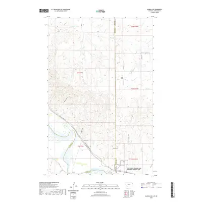
2020 Map of Bainville SE
USGS Topo · Published 2020About this map
The Missouri River carves through the landscape at the Montana and North Dakota border, serving as the central geographic feature of this 2020 study. Along its banks, the Fort Union Trading Post National Historic Site preserves a critical point of early trade and encounter, while the nearby Snowden Bridge facilitates modern passage across the water. The settlement of Snowden sits near the confluence of several geological features, including the Snowden Coulee and Riprap Coulee, which drain the surrounding uplands.
Find a feature on this map
35 named features on this map. Tap any name to fly to it.
Don’t see what you’re looking for? This feature index may not catch every label — zoom into the map to look around manually.
Map Details
Editions of this 2020 Bainville SE Map
This is the sole edition of this map. No revisions or reprints were ever made.
Other maps of this area

1909 · Glendive
USGS Topo · 1:250,000

1953 · Williston
USGS Topo · 1:250,000

1953 · Watford City
USGS Topo · 1:250,000

1954 · Glendive
USGS Topo · 1:250,000

1954 · Wolf Point
USGS Topo · 1:250,000

1957 · Glendive
USGS Topo · 1:250,000

1957 · Williston
USGS Topo · 1:250,000

1957 · Watford City
USGS Topo · 1:250,000

1958 · Wolf Point
USGS Topo · 1:250,000

1958 · Glendive
USGS Topo · 1:250,000