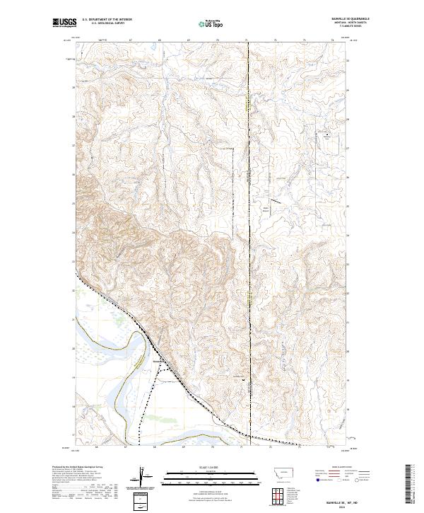
2024 Map of Bainville SE
USGS Topo · Published 2024About this map
The Fort Union Trading Post National Historic Site anchors this landscape along the north bank of the Missouri River, marking the intersection of the Montana North Dakota state line and the junction of Roosevelt and Williams counties. The settlement of Snowden sits near the river's bend, connected by the Bainville-Snowden Rd and the local rail line. The terrain is defined by a series of deep drainages including Snowden Coulee, Riprap Coulee, and Golden Coulee, which cut through the high ground north of the river valley. Genealogists may find interest in the Mondak Cem near the state border and Westview Cem further north, while aviation history is represented by the isolated Stiehl Airport. Numerous seasonal waterways like Horse Tied Creek and Deer Creek reveal the complex drainage patterns of this high plains region.
Find a feature on this map
32 named features on this map. Tap any name to fly to it.
Don’t see what you’re looking for? This feature index may not catch every label — zoom into the map to look around manually.
Map Details
Editions of this 2024 Bainville SE Map
This is the sole edition of this map. No revisions or reprints were ever made.
Other maps of this area

1909 · Glendive
USGS Topo · 1:250,000

1953 · Williston
USGS Topo · 1:250,000

1953 · Watford City
USGS Topo · 1:250,000

1954 · Glendive
USGS Topo · 1:250,000

1954 · Wolf Point
USGS Topo · 1:250,000

1957 · Glendive
USGS Topo · 1:250,000

1957 · Williston
USGS Topo · 1:250,000

1957 · Watford City
USGS Topo · 1:250,000

1958 · Wolf Point
USGS Topo · 1:250,000

1958 · Glendive
USGS Topo · 1:250,000