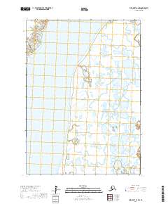
2017 Map of Baird Inlet B-1 NW
USGS Topo · Published 2017About this map
Kuskokwim River dominates the northern reaches of this landscape, carving through the expansive wetlands of the Bethel Census Area. The map reflects a modern topographical record of this river-driven environment, where the shifting hydrology is captured through recent surveys. This particular section of the Kuskokwim River serves as a primary geographic anchor for the region, illustrating the complex network of water bodies and the public land survey system divisions, including t5n r75w and t5n r74w. The absence of named settlements or roadways emphasizes the wilderness character of this area within the Yukon-Kuskokwim Delta, where the landscape is defined by the natural ebb and flow of its waterways rather than human development.
Find a feature on this map
7 named features on this map. Tap any name to fly to it.
Don’t see what you’re looking for? This feature index may not catch every label — zoom into the map to look around manually.
Map Details
Editions of this 2017 Baird Inlet B-1 NW Map
This is the sole edition of this map. No revisions or reprints were ever made.
Other maps of this area

1951 · Baird Inlet
USGS Topo · 1:250,000

1954 · Baird Inlet
USGS Topo · 1:250,000

1954 · Baird Inlet B-1
USGS Topo · 1:63,360
1954 · Baird Inlet C-1
USGS Topo · 1:63,360
1954 · Baird Inlet C-2
USGS Topo · 1:63,360
1954 · Baird Inlet B-2
USGS Topo · 1:63,360
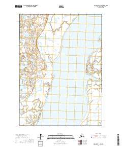
2017 · Baird Inlet C-1 SW
USGS Topo · 1:25,000
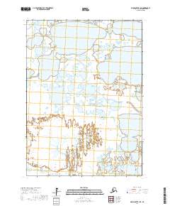
2017 · Baird Inlet B-1 NE
USGS Topo · 1:25,000
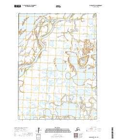
2017 · Baird Inlet C-1 SE
USGS Topo · 1:25,000
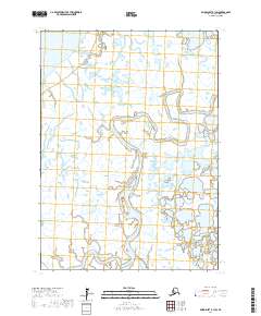
2017 · Baird Inlet B-1 SW
USGS Topo · 1:25,000