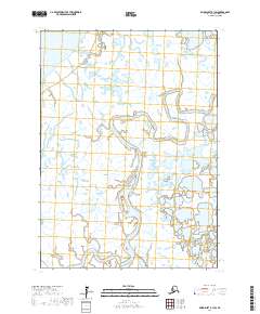
2017 Map of Baird Inlet B-1 SW
USGS Topo · Published 2017About this map
The Kuskokwim River delta landscape dominates this portion of the Bethel Census Area, where water and land exist in a complex, shifting equilibrium. This 2017 survey reveals the intricate hydrography of the region, defined by the winding course of the Eenayarak River as it snakes through a vast network of wetlands and tundra ponds. The map provides a detailed look at the Public Land Survey System divisions, including t3n r75w and t2n r74w, which overlay this largely roadless wilderness. The absence of developed infrastructure emphasizes the dominance of the river systems as primary navigational corridors in this part of the Yukon-Kuskokwim Delta, offering an essential reference for understanding the natural drainage patterns and land boundaries of the Alaskan interior.
Find a feature on this map
6 named features on this map. Tap any name to fly to it.
Don’t see what you’re looking for? This feature index may not catch every label — zoom into the map to look around manually.
Map Details
Editions of this 2017 Baird Inlet B-1 SW Map
This is the sole edition of this map. No revisions or reprints were ever made.
Other maps of this area

1951 · Baird Inlet
USGS Topo · 1:250,000

1954 · Baird Inlet
USGS Topo · 1:250,000

1954 · Baird Inlet B-1
USGS Topo · 1:63,360
1954 · Baird Inlet A-1
USGS Topo · 1:63,360
1954 · Baird Inlet A-2
USGS Topo · 1:63,360
1954 · Baird Inlet B-2
USGS Topo · 1:63,360
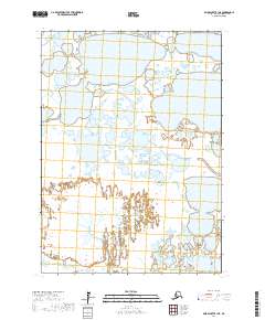
2017 · Baird Inlet B-1 NE
USGS Topo · 1:25,000
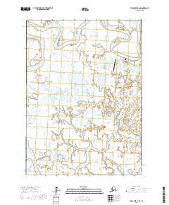
2017 · Baird Inlet A-1 NE
USGS Topo · 1:25,000
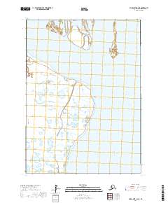
2017 · Baird Inlet A-2 NE
USGS Topo · 1:25,000
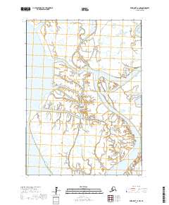
2017 · Baird Inlet A-1 NW
USGS Topo · 1:25,000