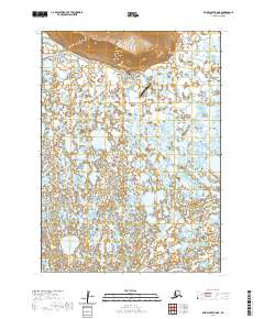
2020 Map of Baird Inlet B-8 NE
USGS Topo · Published 2020About this map
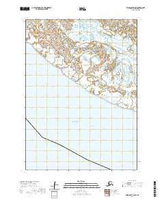
Toksook River winds through this expansive landscape in the Bethel Census Area, serving as a primary geographical anchor for the sparse infrastructure located here. The map highlights a critical transportation node at the Nightmute Airport, which is connected to the local area via Airport Road and Changtak St. A central point of local service is indicated by the Po label, marking the presence of a post office which often serves as the social and administrative heart of remote Alaskan communities. The terrain is characterized by a dense network of wetlands and small water bodies that dominate the landscape south of the river, while the northern portion of the map shows significant elevation changes indicated by closely spaced contours, representing the higher ground that overlooks the river valley.
Find a feature on this map
12 named features on this map. Tap any name to fly to it.
Don’t see what you’re looking for? This feature index may not catch every label — zoom into the map to look around manually.
Map Details
Editions of this 2020 Baird Inlet B-8 NE Map
This is the sole edition of this map. No revisions or reprints were ever made.
Other maps of this area

1951 · Baird Inlet
USGS Topo · 1:250,000

1954 · Baird Inlet C-7
USGS Topo · 1:63,360

1954 · Baird Inlet
USGS Topo · 1:250,000

1954 · Baird Inlet B-7
USGS Topo · 1:63,360

1954 · Baird Inlet C-8
USGS Topo · 1:63,360

1954 · Baird Inlet B-8
USGS Topo · 1:63,360
2020 · Baird Inlet B-8 NW
USGS Topo · 1:25,000
2020 · Baird Inlet C-8 SW
USGS Topo · 1:25,000
2020 · Baird Inlet C-8 SE
USGS Topo · 1:25,000
2020 · Baird Inlet B-8 SW
USGS Topo · 1:25,000