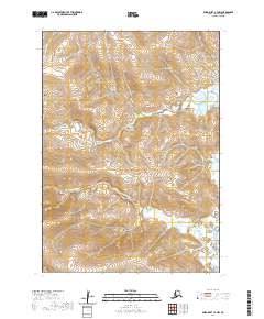
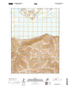
2020 Map of Baird Inlet C-7 NW
USGS Topo · Published 2020About this map
Nelson Island occupies the southwestern reaches of this survey in the Bethel Census Area, where the treeless tundra landscape is defined by an intricate network of wetlands and tidal drainage. The Urumangnak River meanders across the lower half of the quadrangle, reflecting the dynamic hydrological patterns of the Yukon-Kuskokwim Delta. To the north, Isiktok Cr flows through the vast marshland, illustrating the complex water systems that have historically supported seasonal subsistence for local communities. The absence of modern roads or permanent settlements within these boundaries underscores the remote character of the island and its reliance on river-based travel and traditional land use. This map serves as a baseline for understanding the unchanged physical geography of the region as it appeared in the early 21st century.
Find a feature on this map
9 named features on this map. Tap any name to fly to it.
Don’t see what you’re looking for? This feature index may not catch every label — zoom into the map to look around manually.
Map Details
Editions of this 2020 Baird Inlet C-7 NW Map
This is the sole edition of this map. No revisions or reprints were ever made.
Other maps of this area

1951 · Baird Inlet
USGS Topo · 1:250,000

1954 · Baird Inlet C-7
USGS Topo · 1:63,360

1954 · Baird Inlet D-7
USGS Topo · 1:63,360

1954 · Baird Inlet
USGS Topo · 1:250,000

1954 · Baird Inlet C-8
USGS Topo · 1:63,360

1954 · Baird Inlet D-8
USGS Topo · 1:63,360
2020 · Baird Inlet C-7 SE
USGS Topo · 1:25,000
2020 · Baird Inlet C-7 NE
USGS Topo · 1:25,000
2020 · Baird Inlet C-8 SE
USGS Topo · 1:25,000
2020 · Baird Inlet D-7 SW
USGS Topo · 1:25,000