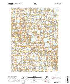
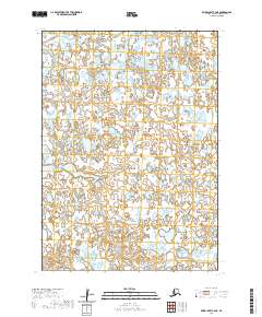
2020 Map of Baird Inlet D-3 SW
USGS Topo · Published 2020About this map
Glacial lakes and intricate wetlands dominate this 2020 topographic survey of the Baird Inlet region in the Bethel Census Area. The landscape is defined by a dense mosaic of unnamed water bodies and saturated terrain within the Public Land Survey System grids of T9n R78w and T9n R77w. This environment is a prime example of the Yukon-Kuskokwim Delta's complex hydrology, where low-lying tundra creates a labyrinthine network of pools and marshland. The lack of named settlements or infrastructure highlights the isolation of this corner of Alaska, managed across the boundaries of T8n R79w and T8n R78w. For researchers, the map provides a precise high-resolution look at shoreline morphology and elevation changes in a region where water and land are perpetually shifting.
Find a feature on this map
4 named features on this map. Tap any name to fly to it.
Don’t see what you’re looking for? This feature index may not catch every label — zoom into the map to look around manually.
Map Details
Editions of this 2020 Baird Inlet D-3 SW Map
This is the sole edition of this map. No revisions or reprints were ever made.
Other maps of this area

1951 · Baird Inlet
USGS Topo · 1:250,000

1954 · Baird Inlet
USGS Topo · 1:250,000
1954 · Baird Inlet C-4
USGS Topo · 1:63,360
1954 · Baird Inlet C-3
USGS Topo · 1:63,360
1954 · Baird Inlet D-3
USGS Topo · 1:63,360
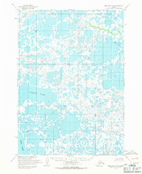
1954 · Baird Inlet D-4
USGS Topo · 1:63,360
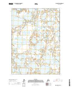
2017 · Baird Inlet D-3 NE
USGS Topo · 1:25,000
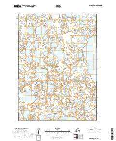
2017 · Baird Inlet D-3 SE
USGS Topo · 1:25,000
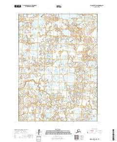
2017 · Baird Inlet C-3 NE
USGS Topo · 1:25,000
2020 · Baird Inlet C-4 NE
USGS Topo · 1:25,000