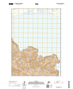
2020 Map of Baird Inlet D-7 SE
USGS Topo · Published 2020About this map
Baird Inlet dominates the northern landscape of this Bethel Census Area sheet, where the tidal waters merge into Philacte Bay to the west. The terrain transitions from these expansive coastal waters to a complex network of wetlands and rising ground in the south, defined by the winding course of Chakchak Creek. This 2020 topographic survey illustrates the intersection of several public land survey boundaries, including t9n r85w and t8n r86w, marking the administrative divisions of this remote coastal region. The map provides a detailed view of the shoreline and elevation contours, which reveal the subtle shifts between the low-lying inlet flats and the higher, inland topography. For those studying the hydrology and land management of western Alaska, this document offers an exact record of the shoreline and township lines as they stood at the start of the decade.
Find a feature on this map
7 named features on this map. Tap any name to fly to it.
Don’t see what you’re looking for? This feature index may not catch every label — zoom into the map to look around manually.
Map Details
Editions of this 2020 Baird Inlet D-7 SE Map
This is the sole edition of this map. No revisions or reprints were ever made.
Other maps of this area

1951 · Baird Inlet
USGS Topo · 1:250,000
1953 · Baird Inlet C-6
USGS Topo · 1:63,360

1954 · Baird Inlet D-6
USGS Topo · 1:63,360

1954 · Baird Inlet C-7
USGS Topo · 1:63,360

1954 · Baird Inlet D-7
USGS Topo · 1:63,360

1954 · Baird Inlet
USGS Topo · 1:250,000
2020 · Baird Inlet C-7 NE
USGS Topo · 1:25,000
2020 · Baird Inlet D-7 SW
USGS Topo · 1:25,000
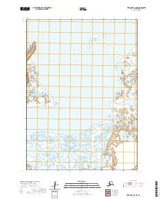
2020 · Baird Inlet C-6 NW
USGS Topo · 1:25,000
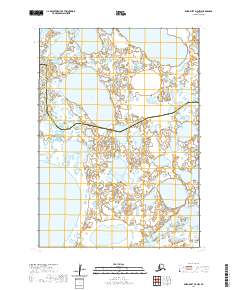
2020 · Baird Inlet D-7 NW
USGS Topo · 1:25,000