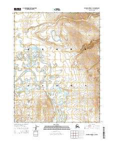
2015 Map of Baird Mountains A-3 SW
USGS Topo · Published 2015About this map
Squirrel River meanders through this portion of the Northwest Arctic Borough, defining the lower valley landscape as it flows through Township 19 North, Range 8 West. The topography is dominated by several significant drainage systems, including the southward-reaching Canyon Cr and the eastern flow of Otter Cr. Higher elevations are concentrated in the northeastern quadrant within Township 20 North, Range 7 West, where the terrain rises steeply from the banks of Central Cr. This 2015 survey illustrates a wilderness environment where the lack of roads or established settlements emphasizes the dominance of the river systems in shaping the land. The intricate contour lines reveal the complex network of ridges and basins that characterize this remote section of the Baird Mountains.
Find a feature on this map
8 named features on this map. Tap any name to fly to it.
Don’t see what you’re looking for? This feature index may not catch every label — zoom into the map to look around manually.
Map Details
Editions of this 2015 Baird Mountains A-3 SW Map
This is the sole edition of this map. No revisions or reprints were ever made.
Other maps of this area

1951 · Baird Mountains
USGS Topo · 1:250,000

1951 · Selawik
USGS Topo · 1:250,000

1955 · Selawik D-4
USGS Topo · 1:63,360

1955 · Selawik D-3
USGS Topo · 1:63,360

1955 · Baird Mountains A-3
USGS Topo · 1:63,360

1955 · Baird Mountains A-4
USGS Topo · 1:63,360

1956 · Baird Mountains
USGS Topo · 1:250,000

1957 · Selawik
USGS Topo · 1:250,000

1965 · Baird Mountains
USGS Topo · 1:250,000
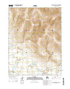
2015 · Baird Mountains A-4 NE
USGS Topo · 1:25,000