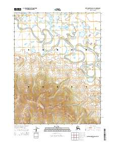
2015 Map of Baird Mountains A-4 SE
USGS Topo · Published 2015About this map
The meandering Squirrel River dominates this northern Alaskan wilderness, carving a serpentine path through the Baird Mountains within the Northwest Arctic Borough. This 2015 U.S. Geological Survey data captures a complex riparian environment defined by oxbow lakes and seasonal wetlands that border the river's main channel. The landscape transitions sharply from the low-lying river valley in the north to significant topographic relief in the south. Several vital tributaries feed the central drainage, including Klery Cr, Central Cr, and Cross Cr. The intricate network of smaller water bodies and the shifting course of the main river provide a detailed look at the hydrologic patterns of the region, where the terrain is heavily influenced by the seasonal flow of these glacial and mountain-fed streams.
Find a feature on this map
10 named features on this map. Tap any name to fly to it.
Don’t see what you’re looking for? This feature index may not catch every label — zoom into the map to look around manually.
Map Details
Editions of this 2015 Baird Mountains A-4 SE Map
This is the sole edition of this map. No revisions or reprints were ever made.
Other maps of this area

1951 · Baird Mountains
USGS Topo · 1:250,000

1951 · Selawik
USGS Topo · 1:250,000

1955 · Selawik D-4
USGS Topo · 1:63,360

1955 · Selawik D-3
USGS Topo · 1:63,360

1955 · Baird Mountains A-3
USGS Topo · 1:63,360

1955 · Baird Mountains A-4
USGS Topo · 1:63,360

1956 · Baird Mountains
USGS Topo · 1:250,000

1957 · Selawik
USGS Topo · 1:250,000

1965 · Baird Mountains
USGS Topo · 1:250,000
2015 · Baird Mountains A-4 NE
USGS Topo · 1:25,000