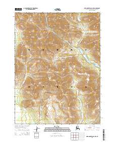
2015 Map of Baird Mountains B-4 NW
USGS Topo · Published 2015About this map
The Baird Mountains dominate this high-latitude terrain within the Alaska-Northwest Arctic Borough, revealed through a 2015 survey. This area is characterized by high-elevation landforms, with contours indicating significant peaks and ridges that define the watershed of the region. The map provides precise Public Land Survey System (PLSS) divisions, including T24n R10w and T23n R10w, which are essential for identifying specific land tracts in this roadless wilderness. The lack of named settlements or infrastructure highlights the raw, undeveloped character of this part of the Arctic, where geographical features and township lines serve as the primary navigational and legal markers for land management and remote exploration.
Find a feature on this map
6 named features on this map. Tap any name to fly to it.
Don’t see what you’re looking for? This feature index may not catch every label — zoom into the map to look around manually.
Map Details
Editions of this 2015 Baird Mountains B-4 NW Map
This is the sole edition of this map. No revisions or reprints were ever made.
Other maps of this area

1951 · Baird Mountains
USGS Topo · 1:250,000

1955 · Baird Mountains C-4
USGS Topo · 1:63,360
1955 · Baird Mountains C-5
USGS Topo · 1:63,360
1955 · Baird Mountains B-5
USGS Topo · 1:63,360
1955 · Baird Mountains B-4
USGS Topo · 1:63,360

1956 · Baird Mountains
USGS Topo · 1:250,000

1965 · Baird Mountains
USGS Topo · 1:250,000
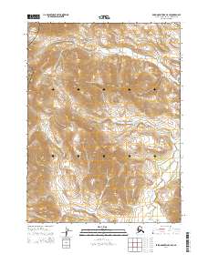
2014 · Baird Mountains C-5 SE
USGS Topo · 1:25,000
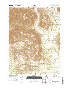
2014 · Baird Mountains B-5 NE
USGS Topo · 1:25,000
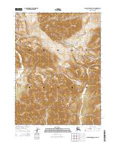
2014 · Baird Mountains C-4 SW
USGS Topo · 1:25,000