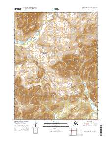
2015 Map of Baird Mountains B-6 NW
USGS Topo · Published 2015About this map
Noatak National Preserve defines the vast majority of this wilderness landscape in the Arctic north. The map details a rugged section of the Baird Mountains, where steep ridgelines and high-elevation valleys are charted with precision. This 2015 record captures the unaltered state of this protected land, showing the natural drainage patterns and topographical contours that have remained largely unchanged for millennia. The area is marked by a complete absence of modern infrastructure or permanent settlements, emphasizing its status as a remote conservation area. Land researchers and those interested in the Public Land Survey System can trace the section lines for townships t24n r15w, t24n r14w, t23n r15w, and t23n r14w, which provide the only human-imposed grid over this natural terrain.
Find a feature on this map
5 named features on this map. Tap any name to fly to it.
Don’t see what you’re looking for? This feature index may not catch every label — zoom into the map to look around manually.
Map Details
Editions of this 2015 Baird Mountains B-6 NW Map
This is the sole edition of this map. No revisions or reprints were ever made.
Other maps of this area

1951 · Baird Mountains
USGS Topo · 1:250,000

1951 · Noatak
USGS Topo · 1:250,000

1955 · Noatak
USGS Topo · 1:250,000

1955 · Noatak C-1
USGS Topo · 1:63,360
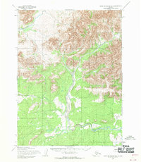
1955 · Baird Mountains B-6
USGS Topo · 1:63,360
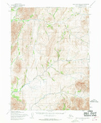
1955 · Baird Mountains C-6
USGS Topo · 1:63,360
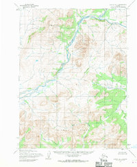
1955 · Noatak B-1
USGS Topo · 1:63,360

1956 · Baird Mountains
USGS Topo · 1:250,000

1964 · Noatak
USGS Topo · 1:250,000

1965 · Baird Mountains
USGS Topo · 1:250,000