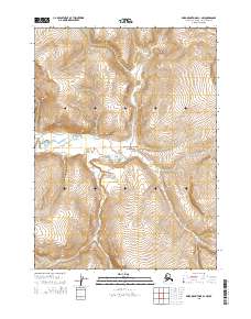
2015 Map of Baird Mountains D-1 NW
USGS Topo · Published 2015About this map
Noatak National Preserve lands dominate this 2015 survey of the Baird Mountains D-1 NW quadrangle, showcasing a landscape defined by dramatic elevation changes. The waterway of Aklumayuak Cr carves through the central portion of the map, serving as the primary drainage feature for the surrounding peaks. The terrain is marked by steep ridges and deep valleys, illustrated through dense contour intervals that reveal the complex geography of this remote Arctic environment. This map reflects the vast, undeveloped wilderness of the Northwest Arctic Borough during the early 21st century, where the absence of roads or permanent settlements highlights the protected status of the preserve. The public land survey system grid, including townships t30n r4w and t29n r3w, provides a structural reference for this largely untrammeled terrain.
Find a feature on this map
6 named features on this map. Tap any name to fly to it.
Don’t see what you’re looking for? This feature index may not catch every label — zoom into the map to look around manually.
Map Details
Editions of this 2015 Baird Mountains D-1 NW Map
This is the sole edition of this map. No revisions or reprints were ever made.
Other maps of this area

1951 · Baird Mountains
USGS Topo · 1:250,000

1951 · Misheguk Mountain
USGS Topo · 1:250,000

1956 · Misheguk Mountain
USGS Topo · 1:250,000

1956 · Baird Mountains
USGS Topo · 1:250,000

1965 · Baird Mountains
USGS Topo · 1:250,000
1990 · Misheguk Mountain A-1
USGS Topo · 1:63,360
1990 · Baird Mountains D-1
USGS Topo · 1:63,360
1990 · Baird Mountains D-2
USGS Topo · 1:63,360
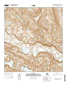
2015 · Misheguk Mountain A-1 SE
USGS Topo · 1:25,000
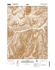
2015 · Baird Mountains D-1 SE
USGS Topo · 1:25,000