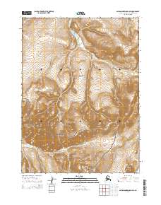
2015 Map of Baird Mountains D-1 SW
USGS Topo · Published 2015About this map
The Noatak National Preserve and Kobuk Valley National Park meet in this high-altitude Alaskan landscape, where the transition between protected wilderness areas is defined by the continental divide of the Baird Mountains. The southern portion of the map is dominated by the upper reaches of the Salmon River, a major tributary that flows through the heart of the Kobuk Valley. To the north, the terrain drains into the Aklumayuak Cr system. This 2015 survey illustrates a nearly untouched Arctic environment, with no roads, structures, or established trails, focusing instead on the complex drainage patterns and relief that dictate travel through these mountain passes. It provides a modern cartographic record of the shared boundary between two of America's most remote national park units.
Find a feature on this map
10 named features on this map. Tap any name to fly to it.
Don’t see what you’re looking for? This feature index may not catch every label — zoom into the map to look around manually.
Map Details
Editions of this 2015 Baird Mountains D-1 SW Map
This is the sole edition of this map. No revisions or reprints were ever made.
Other maps of this area

1951 · Baird Mountains
USGS Topo · 1:250,000

1956 · Baird Mountains
USGS Topo · 1:250,000

1965 · Baird Mountains
USGS Topo · 1:250,000
1990 · Baird Mountains C-1
USGS Topo · 1:63,360
1990 · Baird Mountains D-1
USGS Topo · 1:63,360
1990 · Baird Mountains D-2
USGS Topo · 1:63,360
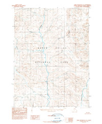
1990 · Baird Mountains C-2
USGS Topo · 1:63,360
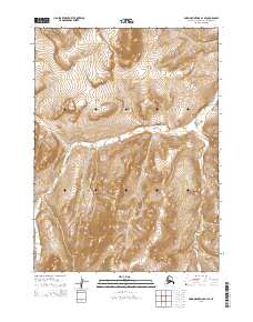
2015 · Baird Mountains D-1 SE
USGS Topo · 1:25,000
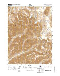
2015 · Baird Mountains C-1 NW
USGS Topo · 1:25,000
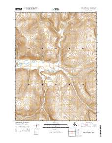
2015 · Baird Mountains D-1 NW
USGS Topo · 1:25,000