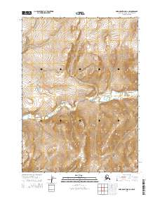
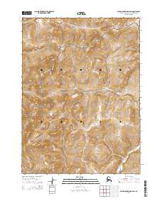
2015 Map of Baird Mountains D-2 NW
USGS Topo · Published 2015About this map
Noatak National Preserve encompasses the central portion of this 2015 study, protecting a landscape defined by dramatic elevation changes and essential arctic waterways. The valley floor is carved by Aklumayuak Creek, which flows through the heart of the preserve, while Little Cottonwood Cr drains the northern high country. These watercourses are the primary geographical markers in a region otherwise characterized by its remote and undeveloped nature. This survey provides a precise modern look at the topographic relief and township boundaries, including t30n r6w and t29n r5w, which are vital for researchers tracking land management and environmental changes within the Brooks Range area.
Find a feature on this map
7 named features on this map. Tap any name to fly to it.
Don’t see what you’re looking for? This feature index may not catch every label — zoom into the map to look around manually.
Map Details
Editions of this 2015 Baird Mountains D-2 NW Map
This is the sole edition of this map. No revisions or reprints were ever made.
Other maps of this area

1951 · Baird Mountains
USGS Topo · 1:250,000

1951 · Misheguk Mountain
USGS Topo · 1:250,000

1955 · Baird Mountains D-3
USGS Topo · 1:63,360

1956 · Misheguk Mountain
USGS Topo · 1:250,000

1956 · Baird Mountains
USGS Topo · 1:250,000

1965 · Baird Mountains
USGS Topo · 1:250,000
1990 · Misheguk Mountain A-2
USGS Topo · 1:63,360
1990 · Baird Mountains D-2
USGS Topo · 1:63,360
2015 · Misheguk Mountain A-2 SW
USGS Topo · 1:25,000
2015 · Baird Mountains D-2 SW
USGS Topo · 1:25,000