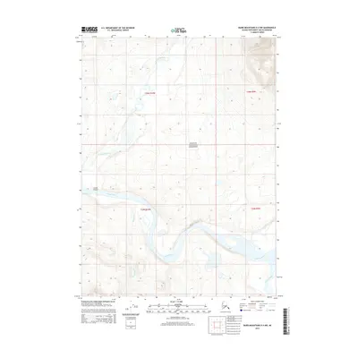
2014 Map of Baird Mountains D-4 NW
USGS Topo · Published 2014About this map
The Noatak National Preserve encompasses a wild drainage system where the Noatak River carves through the landscape, notably creating a feature identified as the Grand Canyon. This 2014 survey documents the convergence of several significant waterways, including the Kaluktavik River which feeds into the Noatak from the north, and the Mukachiak Cr entering from the south.
Find a feature on this map
10 named features on this map. Tap any name to fly to it.
Don’t see what you’re looking for? This feature index may not catch every label — zoom into the map to look around manually.
Map Details
Editions of this 2014 Baird Mountains D-4 NW Map
This is the sole edition of this map. No revisions or reprints were ever made.
Other maps of this area

1951 · Baird Mountains
USGS Topo · 1:250,000

1951 · Misheguk Mountain
USGS Topo · 1:250,000

1955 · Baird Mountains D-4
USGS Topo · 1:63,360

1955 · Baird Mountains D-5
USGS Topo · 1:63,360

1955 · Misheguk Mountain A-3
USGS Topo · 1:63,360
1955 · Misheguk Mountain A-4
USGS Topo · 1:63,360

1956 · Misheguk Mountain
USGS Topo · 1:250,000

1956 · Baird Mountains
USGS Topo · 1:250,000

1965 · Baird Mountains
USGS Topo · 1:250,000
2014 · Baird Mountains D-4 SW
USGS Topo · 1:25,000