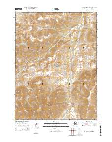
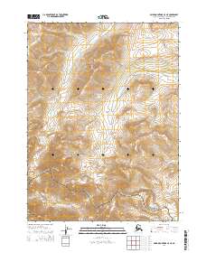
2015 Map of Baird Mountains D-5 SE
USGS Topo · Published 2015About this map
Tututalak Mtn dominates the southern landscape of this 2015 survey, anchoring a territory defined by complex drainages and high-altitude terrain in the Baird Mountains. The topography is shaped largely by the course of Akikukchiak Creek, which flows northward through the eastern portion of the map, and Okiotak Creek, which carves through the central and northwestern sections. Most of this land is managed as part of the Noatak National Preserve, a status that preserves the remote character of this Arctic wilderness. This USGS documentation illustrates the intricate watershed system where numerous unnamed tributaries feed into the primary creeks, providing an essential resource for understanding the hydrography and natural boundaries of the Northwest Arctic Borough. The map's detail focuses on the natural world, showing a region where environmental conservation and indigenous land management under the Arctic-Northwest Arctic Borough are the primary human footprints.
Find a feature on this map
12 named features on this map. Tap any name to fly to it.
Don’t see what you’re looking for? This feature index may not catch every label — zoom into the map to look around manually.
Map Details
Editions of this 2015 Baird Mountains D-5 SE Map
This is the sole edition of this map. No revisions or reprints were ever made.
Other maps of this area

1951 · Baird Mountains
USGS Topo · 1:250,000

1955 · Baird Mountains D-4
USGS Topo · 1:63,360

1955 · Baird Mountains D-5
USGS Topo · 1:63,360

1955 · Baird Mountains C-4
USGS Topo · 1:63,360
1955 · Baird Mountains C-5
USGS Topo · 1:63,360

1956 · Baird Mountains
USGS Topo · 1:250,000

1965 · Baird Mountains
USGS Topo · 1:250,000
2014 · Baird Mountains D-4 NW
USGS Topo · 1:25,000
2014 · Baird Mountains D-4 SW
USGS Topo · 1:25,000
2014 · Baird Mountains C-5 NE
USGS Topo · 1:25,000