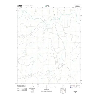
2010 Map of Baker
USGS Topo · Published 2010About this map
The Pease River cuts through this portion of Cottle County, defining a landscape of complex drainage systems and wide ranchlands. This area is characterized by the convergence of several major tributaries, including the extensive branching of Catfish Creek with its West, Middle, and East Prongs, alongside the northward flow of Hackberry Creek. The topography is notably marked by Ninety-Foot Canyon, while the small settlement of Baker and the Y L Ranch serve as primary points of human activity in this rural expanse.
Find a feature on this map
15 named features on this map. Tap any name to fly to it.
Don’t see what you’re looking for? This feature index may not catch every label — zoom into the map to look around manually.
Map Details
Editions of this 2010 Baker Map
This is the sole edition of this map. No revisions or reprints were ever made.
Other maps of this area

1927 · Quanah 3-b
USGS Topo · 1:48,000

1932 · Vivian
USGS Topo · 1:62,500

1954 · Plainview
USGS Topo · 1:250,000

1955 · Lawton
USGS Topo · 1:250,000

1958 · Plainview
USGS Topo · 1:250,000

1960 · Goodlett
USGS Topo · 1:62,500

1960 · Teacup Mountain
USGS Topo · 1:62,500

1967 · Buckle L Ranch
USGS Topo · 1:24,000

1967 · Kirkland South
USGS Topo · 1:24,000

1967 · Triangle Ranch
USGS Topo · 1:24,000