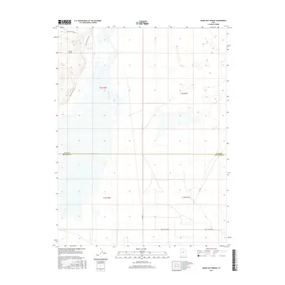
2017 Map of Baker Hot Springs
USGS Topo · Published 2017About this map
Baker Hot Springs sits at the northern edge of the Millard County and Juab County line, marking a point of geothermal interest in the Great Basin. The landscape is defined by the winding course of the Old River Bed, a significant paleochannel that once carried the waters of an ancient lake system across this arid basin. To the west, Crater Bench rises as a distinct volcanic landform, accessed by the appropriately named Baker Hogs Back Rd. The mapping of this area, as detailed by the U.S. Geological Survey, reflects the modern transportation grid with routes like Brush Wellman Rd and N 6000 W providing access to this sparsely settled desert environment.
Find a feature on this map
13 named features on this map. Tap any name to fly to it.
Don’t see what you’re looking for? This feature index may not catch every label — zoom into the map to look around manually.
Map Details
Editions of this 2017 Baker Hot Springs Map
This is the sole edition of this map. No revisions or reprints were ever made.
Other maps of this area

1885 · Sevier Desert
USGS Topo · 1:250,000

1953 · Delta
USGS Topo · 1:250,000

1958 · Delta
USGS Topo · 1:250,000

1962 · Delta
USGS Topo · 1:250,000

1962 · Delta
USGS Topo · 1:62,500

1971 · Smelter Knolls East
USGS Topo · 1:24,000

1971 · Baker Hot Springs
USGS Topo · 1:24,000

1971 · Rain Lake
USGS Topo · 1:24,000

1971 · Crater Bench Reservoir
USGS Topo · 1:24,000

1971 · Fumarole Butte
USGS Topo · 1:24,000