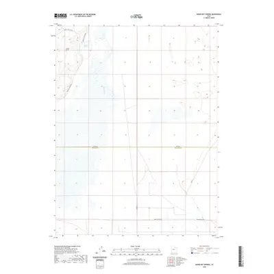
2020 Map of Baker Hot Springs
USGS Topo · Published 2020About this map
Baker Hot Springs sits at the heart of this desert landscape, where the geothermal activity contrasts with the arid surroundings of Crater Bench. The map captures the meeting point of the Juab Co and Millard Co border, revealing a network of modern infrastructure and ancient geography. The presence of the Old River Bed snaking through the center of the sheet indicates a significant paleohydrological feature that once carved through this basin. Transportation in the area is defined by functional desert routes such as Brush Wellman Rd, N 6000 W, and Baker Hogs Back Rd, which provide access to this isolated part of the Great Basin. The terrain is characterized by subtle elevation changes and expansive flats, typical of the region's unique tectonic and volcanic history.
Find a feature on this map
10 named features on this map. Tap any name to fly to it.
Don’t see what you’re looking for? This feature index may not catch every label — zoom into the map to look around manually.
Map Details
Editions of this 2020 Baker Hot Springs Map
This is the sole edition of this map. No revisions or reprints were ever made.
Other maps of this area

1885 · Sevier Desert
USGS Topo · 1:250,000

1953 · Delta
USGS Topo · 1:250,000

1958 · Delta
USGS Topo · 1:250,000

1962 · Delta
USGS Topo · 1:250,000

1962 · Delta
USGS Topo · 1:62,500

1971 · Smelter Knolls East
USGS Topo · 1:24,000

1971 · Baker Hot Springs
USGS Topo · 1:24,000

1971 · Rain Lake
USGS Topo · 1:24,000

1971 · Crater Bench Reservoir
USGS Topo · 1:24,000

1971 · Fumarole Butte
USGS Topo · 1:24,000