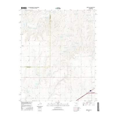
2016 Map of Baker Lake
USGS Topo · Published 2016About this map
Berlin and its nearby Berlin Cem sit at a significant local intersection in Western Oklahoma, positioned just south of the boundary between Roger Mills and Beckham County. The landscape is defined by a dense network of drainage management, characterized by numerous small reservoirs such as Sandstone Creek Site 15 Reservoir and Timber Cr Site 5 Reservoir that capture seasonal flow. These man-made features are integrated into the natural hydrology of Sandstone Cr and Currant Cr, reflecting modern land-use patterns in this prairie region. Further south, the map details the headwaters of Coffee Bean Cr and Timber Cr, including the Timbercreek Site 4 Reservoir, illustrating how water resources are meticulously partitioned across the rural section lines of the high plains.
Find a feature on this map
42 named features on this map. Tap any name to fly to it.
Don’t see what you’re looking for? This feature index may not catch every label — zoom into the map to look around manually.
Map Details
Editions of this 2016 Baker Lake Map
This is the sole edition of this map. No revisions or reprints were ever made.
Other maps of this area

1955 · Clinton
USGS Topo · 1:250,000

1957 · Clinton
USGS Topo · 1:250,000

1960 · Cheyenne
USGS Topo · 1:62,500

1960 · Sayre
USGS Topo · 1:62,500

1960 · Hammon
USGS Topo · 1:62,500

1961 · Elk City
USGS Topo · 1:62,500

1984 · Foss Reservoir
USGS Topo · 1:100,000

1985 · Elk City
USGS Topo · 1:100,000

1987 · Big Kiowa Creek
USGS Topo · 1:24,000

1987 · Elk City
USGS Topo · 1:24,000