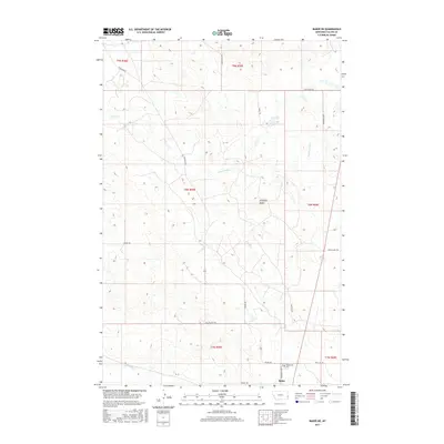
2017 Map of Baker NE
USGS Topo · Published 2017About this map
Antelope Butte rises above the prairie landscape north of Baker, Montana, in this 2017 survey by the U.S. Geological Survey. The map detail reflects the regional reliance on ranching and energy infrastructure, marked by a dense network of local roads and trails such as Shell Oil Rd and Oilfield Rd. In the southern portion of the quadrangle, the Bonnievale Cem is located near Bonnievale Rd, serving as a significant point of interest for genealogists tracing family roots in Fallon County. The terrain is defined by drainage systems including Pennel Cr and Cottonwood Cr, which carve through the plains. The presence of routes like Anticline Rd and Valley View Trl highlights the intersection of modern resource management with traditional rural life in this corner of eastern Montana.
Find a feature on this map
23 named features on this map. Tap any name to fly to it.
Don’t see what you’re looking for? This feature index may not catch every label — zoom into the map to look around manually.
Map Details
Editions of this 2017 Baker NE Map
This is the sole edition of this map. No revisions or reprints were ever made.
Other maps of this area

1953 · Miles City
USGS Topo · 1:250,000

1957 · Miles City
USGS Topo · 1:250,000

1958 · Miles City
USGS Topo · 1:250,000

1981 · Baker
USGS Topo · 1:100,000

1981 · Baker NE
USGS Topo · 1:24,000

1981 · Buffalo Reservoir
USGS Topo · 1:24,000

1981 · Baker
USGS Topo · 1:24,000

1981 · South Sandstone Reservoir
USGS Topo · 1:24,000

1981 · Lawrence Creek East
USGS Topo · 1:24,000

1981 · Baker NW
USGS Topo · 1:24,000