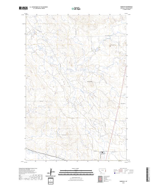
2024 Map of Baker NE
USGS Topo · Published 2024About this map
Anticline Rd and Cabin Creek Rd cut across the high plains of Fallon County, Montana, tracing the persistent influence of the petroleum industry on the rural landscape. In this modern survey, private family legacies remain anchored to the land through the Hallmans Family Cem and the Askin Family Cem. These small, localized burial sites, along with the Bonnievale Cem, offer essential touchpoints for genealogists researching families tied to the early ranching and energy sectors of eastern Montana.
Find a feature on this map
24 named features on this map. Tap any name to fly to it.
Don’t see what you’re looking for? This feature index may not catch every label — zoom into the map to look around manually.
Map Details
Editions of this 2024 Baker NE Map
This is the sole edition of this map. No revisions or reprints were ever made.
Other maps of this area

1953 · Miles City
USGS Topo · 1:250,000

1957 · Miles City
USGS Topo · 1:250,000

1958 · Miles City
USGS Topo · 1:250,000

1981 · Baker
USGS Topo · 1:100,000

1981 · Baker NE
USGS Topo · 1:24,000

1981 · Buffalo Reservoir
USGS Topo · 1:24,000

1981 · Baker
USGS Topo · 1:24,000

1981 · South Sandstone Reservoir
USGS Topo · 1:24,000

1981 · Lawrence Creek East
USGS Topo · 1:24,000

1981 · Baker NW
USGS Topo · 1:24,000