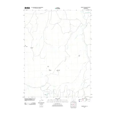
2010 Map of Bakers Peak
USGS Topo · Published 2010About this map
The settlement of Slater and its Slater Post Office anchor this corner of Moffat County, situated near the winding course of the Little Snake River. The landscape is defined by high-elevation landmarks including Bakers Peak, Serviceberry Mountain, and Jim Robertson Mountain. Water management and natural drainage shape the southern portion of the map, where the OVO Reservoir and Elk Lake Dam collect flows from Willow Creek.
Find a feature on this map
35 named features on this map. Tap any name to fly to it.
Don’t see what you’re looking for? This feature index may not catch every label — zoom into the map to look around manually.
Map Details
Editions of this 2010 Bakers Peak Map
This is the sole edition of this map. No revisions or reprints were ever made.
Other maps of this area
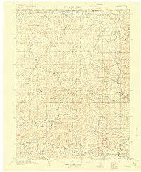
1916 · Craig
USGS Topo · 1:125,000
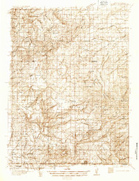
1932 · Savery
USGS Topo · 1:96,000
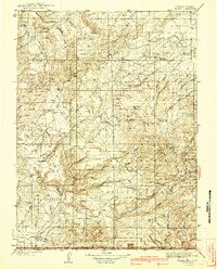
1940 · Savery
USGS Topo · 1:125,000
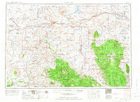
1954 · Rawlins
USGS Topo · 1:250,000
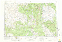
1954 · Craig
USGS Topo · 1:250,000
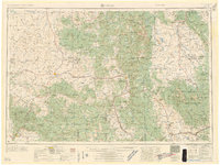
1957 · Craig
USGS Topo · 1:250,000
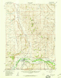
1957 · Baggs
USGS Topo · 1:62,500
1958 · Rawlins
USGS Topo · 1:250,000
1958 · Craig
USGS Topo · 1:250,000
1960 · Craig
USGS Topo · 1:250,000