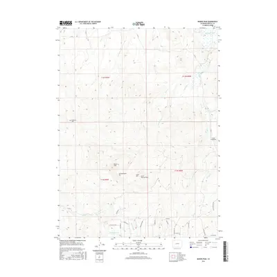
2016 Map of Bakers Peak
USGS Topo · Published 2016About this map
Bakers Peak stands as the prominent centerpiece of this high-elevation landscape in Moffat County, part of a rugged chain of summits including Jim Robertson Mtn and Serviceberry Mtn. The terrain is defined by a series of steep drainages and watercourses such as Mule Cr, Slater Cr, and Jack Rabbit Cr, which feed toward the Little Snake River at the northern edge of the quadrangle. In the south, the Elk Lake Reservoir serves as a significant hydrologic feature near the headwaters of Spring Cr. The 2016 survey illustrates a modern grid of rural access roads, such as Co RD 2, winding through the mountains and along geographic markers like Smith Rim and Little Field Draw. This topographic study provides a clear view of the mountain-and-basin hydrology and high-country road network essential for ranching and resource management in this corner of Colorado.
Find a feature on this map
39 named features on this map. Tap any name to fly to it.
Don’t see what you’re looking for? This feature index may not catch every label — zoom into the map to look around manually.
Map Details
Editions of this 2016 Bakers Peak Map
This is the sole edition of this map. No revisions or reprints were ever made.
Other maps of this area

1916 · Craig
USGS Topo · 1:125,000

1932 · Savery
USGS Topo · 1:96,000

1940 · Savery
USGS Topo · 1:125,000

1954 · Rawlins
USGS Topo · 1:250,000

1954 · Craig
USGS Topo · 1:250,000

1957 · Craig
USGS Topo · 1:250,000

1957 · Baggs
USGS Topo · 1:62,500

1958 · Rawlins
USGS Topo · 1:250,000

1958 · Craig
USGS Topo · 1:250,000

1960 · Craig
USGS Topo · 1:250,000