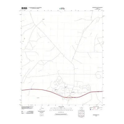
2010 Map of Bakersfield
USGS Topo · Published 2010About this map
Bakersfield and its surrounding Pecos County landscape are defined by the convergence of energy production and cattle ranching during the early twenty-first century. The map highlights the Taylor-Link Oil and Gas Field, signaling the enduring industrial character of the Permian Basin region. This energy infrastructure is interspersed with wide-ranging agricultural interests, represented by the McDonald Ranch to the north.
Find a feature on this map
15 named features on this map. Tap any name to fly to it.
Don’t see what you’re looking for? This feature index may not catch every label — zoom into the map to look around manually.
Map Details
Editions of this 2010 Bakersfield Map
This is the sole edition of this map. No revisions or reprints were ever made.
Other maps of this area

1928 · Crane
USGS Topo · 1:125,000

1929 · Independence Draw Quadrangle
USGS Topo · 1:125,000

1954 · Pecos
USGS Topo · 1:250,000

1954 · Fort Stockton
USGS Topo · 1:250,000

1957 · Pecos
USGS Topo · 1:250,000

1958 · Fort Stockton
USGS Topo · 1:250,000

1969 · Bootleg Canyon
USGS Topo · 1:24,000

1969 · Skyscraper Peak
USGS Topo · 1:24,000

1969 · Indian Mesa
USGS Topo · 1:24,000

1969 · Bakersfield
USGS Topo · 1:24,000