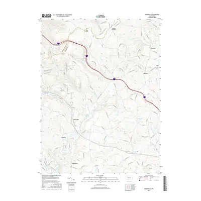
2016 Map of Bakersville
USGS Topo · Published 2016About this map
The Somerset and Westmoreland county line divides this upland landscape, dominated by the wooded ridges of Forbes State Forest. Central to the map's character is the high-elevation terrain around Bald Knob and Laurel Summit, where numerous headwater streams like Linn Run and Clear Run begin their descent. This area serves as a significant recreational and conservation corridor, featuring established paths such as the Wolf Rocks Trail and Hobblebush Trail.
Find a feature on this map
135 named features on this map. Tap any name to fly to it.
Don’t see what you’re looking for? This feature index may not catch every label — zoom into the map to look around manually.
Map Details
Editions of this 2016 Bakersville Map
This is the sole edition of this map. No revisions or reprints were ever made.
Other maps of this area

1913 · Somerset
USGS Topo · 1:62,500

1915 · Somerset
USGS Topo · 1:62,500

1921 · Meyersdale
USGS Topo · 1:62,500

1922 · Confluence
USGS Topo · 1:62,500

1922 · Donegal
USGS Topo · 1:62,500

1931 · Confluence
USGS Topo · 1:62,500

1933 · Confluence
USGS Topo · 1:62,500

1935 · Donegal
USGS Topo · 1:62,500

1939 · Meyersdale
USGS Topo · 1:62,500

1944 · Somerset
USGS Topo · 1:62,500
Featured Places
- Milford Township, PA
- Donegal Township, PA
- Somerset Township, PA
- Allenvale, Jefferson Township
- Indiantown, Jefferson Township