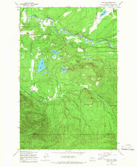
1959 Map of Bald Hill
USGS Topo · Published 1966About this map
The Nisqually River winds through the northern reaches of this landscape, marking the boundary between Thurston and Pierce counties. Near the river, the Lackamas Sch and various engineered waterways like Lackamas Ditch and the Plessner Ditch suggest a community organized around managed water and agriculture in the late 1950s. The terrain transitions from these lowlands toward the prominent Bald Hill and the distinctive Fossil Rock to the south.
Find a feature on this map
33 named features on this map. Tap any name to fly to it.
Don’t see what you’re looking for? This feature index may not catch every label — zoom into the map to look around manually.
Map Details
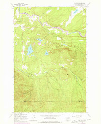
Editions of this 1959 Bald Hill Map
2 editions found
Other maps of this area

1916 · Chehalis
USGS Topo · 1:125,000

1937 · Eatonville
USGS Topo · 1:125,000

1941 · Tanwax Lake
USGS Topo · 1:62,500

1943 · Willapa
USGS Topo · 1:62,500

1944 · Yelm
USGS Topo · 1:62,500

1944 · Ohop Valley
USGS Topo · 1:62,500

1949 · Ohop Valley
USGS Topo · 1:62,500

1949 · Yelm
USGS Topo · 1:62,500

1953 · Hoquiam
USGS Topo · 1:250,000

1954 · Onalaska
USGS Topo · 1:62,500