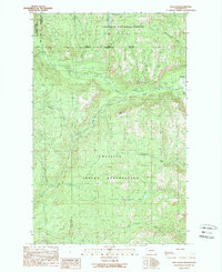
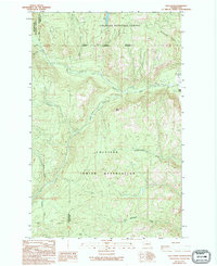
1989 Map of Bald Knob
USGS Topo · Published 1989About this map
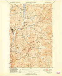
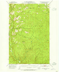
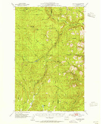
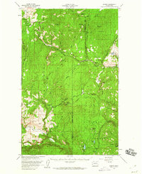
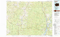
The Colville Indian Reservation and two national forests converge in this 1980s landscape at the border of Okanogan and Ferry Counties. The high-elevation terrain is defined by the West Fork Sanpoil River and a complex drainage system including Nineteenmile Creek and Gold Creek. This period reveals an active interest in the mineral potential of the area, indicated by several prospects and more established operations like the Bungalow Mine near Bungalow Creek. The prominent Bald Knob peak overlooks a landscape dominated by the Colville National Forest and Okanogan National Forest. This survey documents the transition from federally managed forest land to reservation territory, punctuated by isolated mines and the winding course of the Sanpoil River.
Find a feature on this map
24 named features on this map. Tap any name to fly to it.
Don’t see what you’re looking for? This feature index may not catch every label — zoom into the map to look around manually.
Map Details
Editions of this 1989 Bald Knob Map
2 editions found
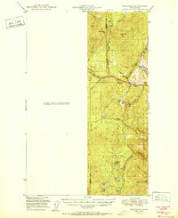
Other maps of this area

1904 · Republic
USGS Topo · 1:125,000
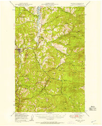
1948 · Republic
USGS Topo · 1:62,500
1951 · Wauconda
USGS Topo · 1:62,500
1951 · Republic
USGS Topo · 1:62,500
1953 · Seventeenmile Mtn.
USGS Topo · 1:62,500
1953 · Bald Knob
USGS Topo · 1:62,500

1954 · Okanogan
USGS Topo · 1:250,000

1958 · Okanogan
USGS Topo · 1:250,000
1958 · Aeneas
USGS Topo · 1:62,500
1984 · Republic
USGS Topo · 1:100,000