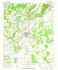
1965 Map of Bald Knob
USGS Topo · Published 1966About this map
The Missouri Pacific railroad corridor anchors this mid-century portrait of Bald Knob, serving as the industrial spine for White County. The settlement pattern radiates from the rail line, transitioning from the developed town center near the Athletic Field and Bald Knob Municipal Airport into a landscape defined by seasonal watercourses like Chinquapin Creek and the Overflow. To the north, the terrain rises toward Russell Mountain and The Cliffs, where several quarries indicate the local extractive industry near Russell.
Find a feature on this map
44 named features on this map. Tap any name to fly to it.
Don’t see what you’re looking for? This feature index may not catch every label — zoom into the map to look around manually.
Map Details
Editions of this 1965 Bald Knob Map
2 editions found
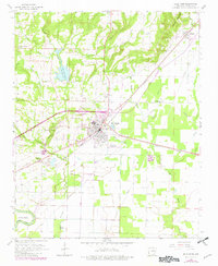
Other maps of this area

1932 · Kensett
USGS Topo · 1:62,500

1935 · Kensett
USGS Topo · 1:62,500

1935 · Augusta
USGS Topo · 1:62,500

1935 · Gregory
USGS Topo · 1:62,500

1935 · Bald Knob
USGS Topo · 1:62,500

1953 · Memphis
USGS Topo · 1:250,000

1956 · Memphis
USGS Topo · 1:250,000

1957 · Augusta
USGS Topo · 1:62,500

1957 · Gregory
USGS Topo · 1:62,500
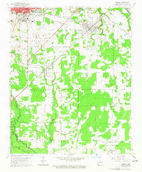
1964 · Kensett
USGS Topo · 1:24,000