1963 Map of Bald Mountain
USGS Topo · Published 1981About this map
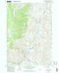
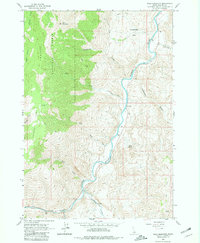
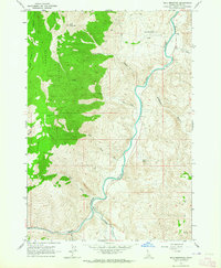
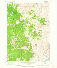
Challis National Forest dominates the western portion of this 1963 survey, where high-altitude drainages like Juliette Creek and Rattlesnake Creek cut through the steep slopes of Bald Mountain. The landscape reflects a history of mineral exploration and rugged access, evidenced by the Silver Bell Mine tucked into the mountain's southern flank and the Turtle Mine to the north. These sites are connected by a network of a Jeep Trail, illustrating the remote nature of mid-century mining operations in Custer County.
Find a feature on this map
24 named features on this map. Tap any name to fly to it.
Don’t see what you’re looking for? This feature index may not catch every label — zoom into the map to look around manually.
Map Details
Editions of this 1963 Bald Mountain Map
3 editions found
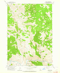
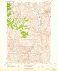
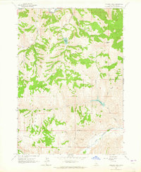
Other maps of this area

1929 · Bayhorse
USGS Topo · 1:125,000

1957 · Challis
USGS Topo · 1:250,000

1960 · Challis
USGS Topo · 1:250,000

1963 · Challis
USGS Topo · 1:250,000
1963 · Bald Mountain
USGS Topo · 1:24,000
1963 · Bayhorse Lake
USGS Topo · 1:24,000
1963 · Bayhorse
USGS Topo · 1:24,000
1963 · Clayton
USGS Topo · 1:24,000
1963 · Ziegler Basin
USGS Topo · 1:24,000
1963 · Potaman Peak
USGS Topo · 1:24,000