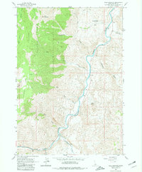
1963 Map of Bald Mountain
USGS Topo · Published 1981About this map
Challis National Forest dominates the western slopes of this Idaho landscape, where the terrain descends from the heights of Bald Mountain toward the winding course of the Salmon River. The river corridor is the primary artery for travel and seasonal activity, marked by river mile indicators and a solitary Footbridge near the mouth of Lyon Creek. This 1963 field survey documents a remote mining and ranching geography, evidenced by the Silver Bell Mine tucked into a canyon and the Turtle Mine situated to the north.
Find a feature on this map
24 named features on this map. Tap any name to fly to it.
Don’t see what you’re looking for? This feature index may not catch every label — zoom into the map to look around manually.
Map Details
Editions of this 1963 Bald Mountain Map
3 editions found
Other maps of this area

1929 · Bayhorse
USGS Topo · 1:125,000

1957 · Challis
USGS Topo · 1:250,000

1960 · Challis
USGS Topo · 1:250,000

1963 · Challis
USGS Topo · 1:250,000

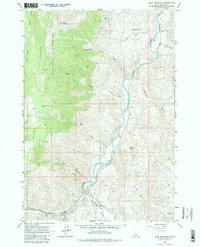
1963 · Bald Mountain
USGS Topo · 1:24,000

1963 · Bayhorse Lake
USGS Topo · 1:24,000

1963 · Bayhorse
USGS Topo · 1:24,000

1963 · Clayton
USGS Topo · 1:24,000
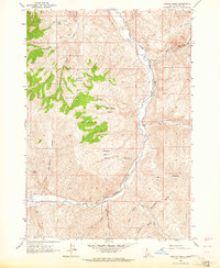
1963 · Ziegler Basin
USGS Topo · 1:24,000
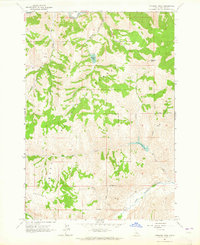
1963 · Potaman Peak
USGS Topo · 1:24,000