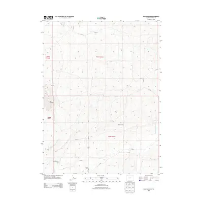
2013 Map of Bald Mountain
USGS Topo · Published 2013About this map
Bald Mountain dominates the western portion of this northwestern Colorado landscape, casting its shadow over a complex network of seasonal drainage systems. The terrain is defined by dramatic topographical shifts, notably at Hardgrove Rim and across the broad Alkali Draw. These natural landmarks are bisected by a grid of Moffat County service roads, including CO Road 8 and CO Road 19, which provide access to the remote high-country plateaus. Water resources are primarily ephemeral, characterized by the winding paths of Red Wash and Sand Creek. Smaller features like Cutshaw Spring and Lucas Hill offer specific points of interest for those tracing the history of land use and livestock grazing in this arid region. The map reveals a transition from the lower elevations of Spring Creek in the southeast to the higher elevations surrounding the primary peak.
Find a feature on this map
25 named features on this map. Tap any name to fly to it.
Don’t see what you’re looking for? This feature index may not catch every label — zoom into the map to look around manually.
Map Details
Editions of this 2013 Bald Mountain Map
This is the sole edition of this map. No revisions or reprints were ever made.
Other maps of this area

1916 · Craig
USGS Topo · 1:125,000

1954 · Vernal
USGS Topo · 1:250,000

1954 · Craig
USGS Topo · 1:250,000

1957 · Craig
USGS Topo · 1:250,000

1958 · Vernal
USGS Topo · 1:250,000

1958 · Craig
USGS Topo · 1:250,000

1958 · Maybell
USGS Topo · 1:62,500

1960 · Craig
USGS Topo · 1:250,000

1960 · Vernal
USGS Topo · 1:250,000

1962 · Craig
USGS Topo · 1:250,000