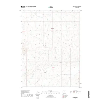
2019 Map of Bald Mountain
USGS Topo · Published 2019About this map
Bald Mtn and Lucas Hill command the high ground of this western Moffat County landscape, a region defined by an intricate network of ephemeral drainages and semi-arid terrain. The topographical detail reveals how water shapes this environment, from the broad Shaffers Draw in the northwest to the carving of Hardgrove Rim. A vital water source in this dry range, Cutshaw Spring is located at the head of Bald Mountain Draw. The map documents a sparse but essential road network, including Co RD 19 and Co RD 8, which provide access through the township and range divisions. Local hydrology is dominated by the winding paths of Red Wash and Sand Cr, illustrating the drainage patterns that feed into the larger regional basins.
Find a feature on this map
23 named features on this map. Tap any name to fly to it.
Don’t see what you’re looking for? This feature index may not catch every label — zoom into the map to look around manually.
Map Details
Editions of this 2019 Bald Mountain Map
This is the sole edition of this map. No revisions or reprints were ever made.
Other maps of this area

1916 · Craig
USGS Topo · 1:125,000

1954 · Vernal
USGS Topo · 1:250,000

1954 · Craig
USGS Topo · 1:250,000

1957 · Craig
USGS Topo · 1:250,000

1958 · Vernal
USGS Topo · 1:250,000

1958 · Craig
USGS Topo · 1:250,000

1958 · Maybell
USGS Topo · 1:62,500

1960 · Craig
USGS Topo · 1:250,000

1960 · Vernal
USGS Topo · 1:250,000

1962 · Craig
USGS Topo · 1:250,000