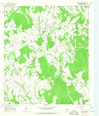
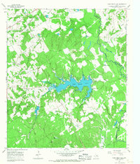
1965 Map of Bald Prairie
USGS Topo · Published 1968About this map
Bald Prairie serves as the central focal point of this rural Robertson County landscape, where the settlement and agricultural activity are defined by the winding paths of several watercourses. The drainage of Duck Creek and Mulberry Creek carves through the terrain, while smaller tributaries like Schoolhouse Branch and Herds Branch frame the localized farmsteads and fields. The distribution of civic and religious markers provides a clear view into the community's mid-century social structure.
Find a feature on this map
17 named features on this map. Tap any name to fly to it.
Don’t see what you’re looking for? This feature index may not catch every label — zoom into the map to look around manually.
Map Details
Editions of this 1965 Bald Prairie Map
2 editions found
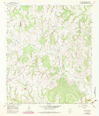
Other maps of this area

1925 · Marquez No. 1
USGS Topo · 1:48,000

1925 · Marquez No. 4
USGS Topo · 1:48,000

1927 · Marquez
USGS Topo · 1:62,500

1930 · Marquez
USGS Topo · 1:62,500

1954 · Waco
USGS Topo · 1:250,000

1955 · Waco
USGS Topo · 1:250,000

1962 · Petteway
USGS Topo · 1:24,000
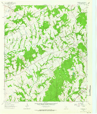
1962 · Owensville
USGS Topo · 1:24,000
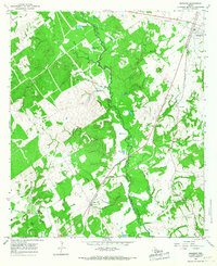
1965 · Marquez
USGS Topo · 1:24,000
1965 · Camp Creek Lake
USGS Topo · 1:24,000