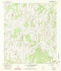
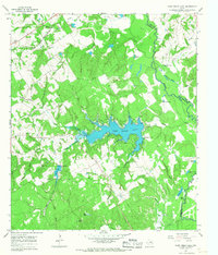
1965 Map of Bald Prairie
USGS Topo · Published 1983About this map
The settlement of Bald Prairie anchors this portion of Robertson County, where the topography is defined by a dense network of seasonal drainages and prairie creeks. Originally mapped in the 1960s with updates into the early 1980s, the landscape shows a clear focus on rural community centers and agricultural infrastructure. Religious and genealogical significance is found at Wesley Chapel Cem and the West Boone Prairie Ch, reflecting the early spiritual life of the area. A small Landing Strip and an extensive Pipeline cut through the terrain, indicating the intersection of mid-century aviation and energy transport in this rural Texas setting. The water system is particularly intricate, with Duck Creek and Mineral Creek drawing from various small tributaries like Schoolhouse Branch and Herds Branch, which likely supported local livestock and farm operations.
Find a feature on this map
18 named features on this map. Tap any name to fly to it.
Don’t see what you’re looking for? This feature index may not catch every label — zoom into the map to look around manually.
Map Details
Editions of this 1965 Bald Prairie Map
2 editions found
Other maps of this area

1925 · Marquez No. 1
USGS Topo · 1:48,000

1925 · Marquez No. 4
USGS Topo · 1:48,000

1927 · Marquez
USGS Topo · 1:62,500

1930 · Marquez
USGS Topo · 1:62,500

1954 · Waco
USGS Topo · 1:250,000

1955 · Waco
USGS Topo · 1:250,000

1962 · Petteway
USGS Topo · 1:24,000
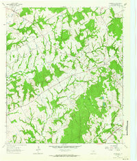
1962 · Owensville
USGS Topo · 1:24,000
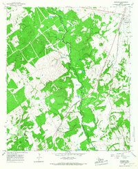
1965 · Marquez
USGS Topo · 1:24,000
1965 · Camp Creek Lake
USGS Topo · 1:24,000