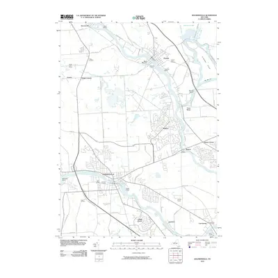
2010 Map of Baldwinsville
USGS Topo · Published 2010About this map
Baldwinsville stands as a central hub at the confluence of the Seneca River and the Oneida River, where they join to form the northward-flowing Oswego River. The landscape is defined by the legacy of New York's waterway network, including the Erie Canal and the Oswego Canal, which pass through towns like Phoenix and Belgium. This area is punctuated by river islands such as Horseshoe Island, Bonsted Island, and Fobes Island, alongside several historic burial grounds like Chase Cemetery and Pendergast Cemetery that reflect the region's long-established settlement patterns. To the north, the suburban development of Radisson and Village Green contrasts with the more rural reaches of Hinmansville and Wrights Corners. Local infrastructure like the Rabbit Lane Airport and several major county routes illustrate the modern transport patterns that have grown alongside the original river-and-canal economy.
Find a feature on this map
74 named features on this map. Tap any name to fly to it.
Don’t see what you’re looking for? This feature index may not catch every label — zoom into the map to look around manually.
Map Details
Editions of this 2010 Baldwinsville Map
This is the sole edition of this map. No revisions or reprints were ever made.
Other maps of this area

1895 · Syracuse
USGS Topo · 1:62,500

1898 · Syracuse
USGS Topo · 1:62,500

1900 · Baldwinsville
USGS Topo · 1:62,500

1900 · Fulton
USGS Topo · 1:62,500

1905 · Mexico
USGS Topo · 1:62,500

1939 · Syracuse West
USGS Topo · 1:24,000

1940 · Brewerton
USGS Topo · 1:24,000

1943 · Jordan
USGS Topo · 1:31,680

1943 · Lysander
USGS Topo · 1:31,680

1943 · Brewerton
USGS Topo · 1:31,680