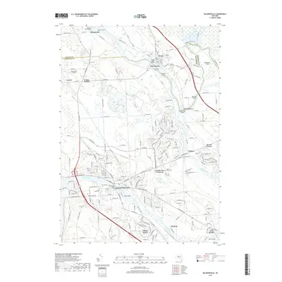
2019 Map of Baldwinsville
USGS Topo · Published 2019About this map
The confluence of the Oswego River, Oneida River, and Seneca River forms a central geographic axis for this region, specifically at the aptly named settlement of Three Rivers. This riverine system defines the landscape, creating several large islands such as Walter Island, Horseshoe Island, and Treasure Island. The village of Baldwinsville serves as a primary hub in the south, while Phoenix and West Phoenix anchor the northern reaches. For local historians, the map preserves the location of numerous burial grounds, including Chase Cem, Pendergast Cem, and the Phoenix Rural Cem. The infrastructure reflects a blend of established river towns and residential developments like Lysander New Community and Village Green. Notable smaller localities such as Belgium, Lamson, and Wrights Corners are visible along the established road network, which includes Co Rte 57 and Co Rte 46.
Find a feature on this map
216 named features on this map. Tap any name to fly to it.
Don’t see what you’re looking for? This feature index may not catch every label — zoom into the map to look around manually.
Map Details
Editions of this 2019 Baldwinsville Map
This is the sole edition of this map. No revisions or reprints were ever made.
Other maps of this area

1895 · Syracuse
USGS Topo · 1:62,500

1898 · Syracuse
USGS Topo · 1:62,500

1900 · Baldwinsville
USGS Topo · 1:62,500

1900 · Fulton
USGS Topo · 1:62,500

1905 · Mexico
USGS Topo · 1:62,500

1939 · Syracuse West
USGS Topo · 1:24,000

1940 · Brewerton
USGS Topo · 1:24,000

1943 · Jordan
USGS Topo · 1:31,680

1943 · Lysander
USGS Topo · 1:31,680

1943 · Brewerton
USGS Topo · 1:31,680