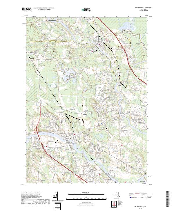
2023 Map of Baldwinsville
USGS Topo · Published 2023About this map
The Oswego River and Seneca River converge at the historic point of Three Rivers, shaping the development of the Onondaga and Oswego county border. This waterway network once fueled the industrial growth of Baldwinsville and Phoenix, where the river's flow supported mill operations and regional transport. The map documents the expansion of suburban communities like Radisson and the Lysander New Community, which stand in contrast to older settlements like Belgium and Hinmansville. Genealogists will find a wealth of burial grounds including Saint Marys Cem, Phoenix Rural Cem, and the family-named Pendergast Cem. Numerous islands, such as Horseshoe Island and Bonsted Island, remain prominent features in the river channels, alongside large marshy areas like Peter Scott Swamp.
Find a feature on this map
128 named features on this map. Tap any name to fly to it.
Don’t see what you’re looking for? This feature index may not catch every label — zoom into the map to look around manually.
Map Details
Editions of this 2023 Baldwinsville Map
This is the sole edition of this map. No revisions or reprints were ever made.
Other maps of this area

1895 · Syracuse
USGS Topo · 1:62,500

1898 · Syracuse
USGS Topo · 1:62,500

1900 · Baldwinsville
USGS Topo · 1:62,500

1900 · Fulton
USGS Topo · 1:62,500

1905 · Mexico
USGS Topo · 1:62,500

1939 · Syracuse West
USGS Topo · 1:24,000

1940 · Brewerton
USGS Topo · 1:24,000

1943 · Jordan
USGS Topo · 1:31,680

1943 · Lysander
USGS Topo · 1:31,680

1943 · Brewerton
USGS Topo · 1:31,680