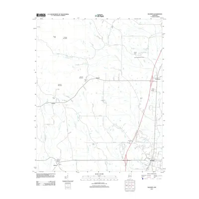
2012 Map of Baldwyn
USGS Topo · Published 2012About this map
Baldwyn serves as the primary municipal center in this Northeast Mississippi landscape, where the town’s grid meets a network of country roads and winding creek bottoms. To the southwest, the Brices Crossroads National Battlefield preserves the site of a significant Civil War engagement near the settlement of Bethany. The terrain is defined by low ridges including Tippah Hills, Kitchen Mountain, and Geeville Mountain, which separate the various tributaries of Twentymile Cr and Town Cr.
Find a feature on this map
47 named features on this map. Tap any name to fly to it.
Don’t see what you’re looking for? This feature index may not catch every label — zoom into the map to look around manually.
Map Details
Editions of this 2012 Baldwyn Map
This is the sole edition of this map. No revisions or reprints were ever made.
Other maps of this area

1921 · Booneville
USGS Topo · 1:48,000

1921 · Tupelo
USGS Topo · 1:48,000

1922 · Booneville
USGS Topo · 1:62,500

1923 · Tupelo
USGS Topo · 1:62,500

1955 · Ripley
USGS Topo · 1:62,500

1955 · Sherman
USGS Topo · 1:62,500

1956 · Tupelo
USGS Topo · 1:250,000

1958 · Tupelo
USGS Topo · 1:250,000

1972 · Jumpertown
USGS Topo · 1:24,000

1973 · Guntown
USGS Topo · 1:24,000