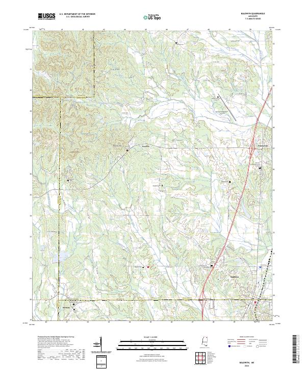
2024 Map of Baldwyn
USGS Topo · Published 2024About this map
The Brices Crossroads National Battlefield Site anchors the southwestern corner of this region, preserving the site where Union and Confederate forces clashed. Near the settlement of Bethany, the Brices Crossroads National Battlefield Cem and Bethany Cem offer significant points of interest for genealogists and military historians. The landscape transitions from the heights of the Tippah Hills, including Kitchen Mtn and Geeville Mtn, down into the creek valleys of Twentymile Creek and Okelala Creek.
Find a feature on this map
110 named features on this map. Tap any name to fly to it.
Don’t see what you’re looking for? This feature index may not catch every label — zoom into the map to look around manually.
Map Details
Editions of this 2024 Baldwyn Map
This is the sole edition of this map. No revisions or reprints were ever made.
Other maps of this area

1921 · Booneville
USGS Topo · 1:48,000

1921 · Tupelo
USGS Topo · 1:48,000

1922 · Booneville
USGS Topo · 1:62,500

1923 · Tupelo
USGS Topo · 1:62,500

1955 · Ripley
USGS Topo · 1:62,500

1955 · Sherman
USGS Topo · 1:62,500

1956 · Tupelo
USGS Topo · 1:250,000

1958 · Tupelo
USGS Topo · 1:250,000

1972 · Jumpertown
USGS Topo · 1:24,000

1973 · Guntown
USGS Topo · 1:24,000