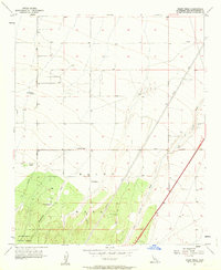
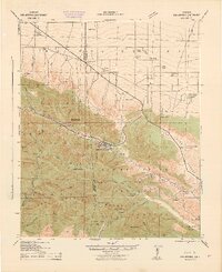
1956 Map of Baldy Mesa
USGS Topo · Published 1963About this map
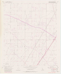
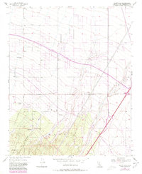
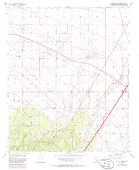
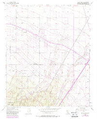
Baldy Mesa dominates the high desert landscape south of Adelanto during the mid-1950s, a period when this part of San Bernardino County remained characterized by isolated cattle ranches and expansive desert washes. The mapping reveals a sparse network of dirt and light-duty roads, such as Caughlin Road and Phela Road, connecting scattered family-named outposts including Yucca Forest Ranch, Patterson Ranch, and Warner Ranch.
Find a feature on this map
18 named features on this map. Tap any name to fly to it.
Don’t see what you’re looking for? This feature index may not catch every label — zoom into the map to look around manually.
Map Details
Editions of this 1956 Baldy Mesa Map
8 editions found
Other maps of this area

1901 · Southern California Sheet No. 1
USGS Topo · 1:250,000

1902 · Hesperia
USGS Topo · 1:62,500

1903 · San Antonio
USGS Topo · 1:62,500

1904 · Southern California Sheet No. 1
USGS Topo · 1:250,000

1932 · Barstow
USGS Topo · 1:125,000

1934 · Barstow
USGS Topo · 1:125,000

1937 · Shadow Mountains
USGS Topo · 1:48,000
1942 · San Antonio
USGS Topo · 1:62,500

1942 · Hesperia
USGS Topo · 1:62,500

1942 · Shadow Mountains
USGS Topo · 1:62,500