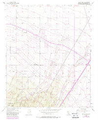
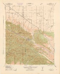
1956 Map of Baldy Mesa
USGS Topo · Published 1988About this map
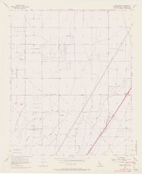
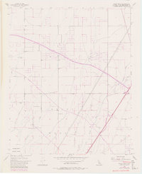
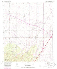
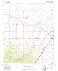
Baldy Mesa serves as a stark high-desert landscape in the late 1950s, characterized by its transition from the steep northern slopes of the San Bernardino National Forest into the alluvial plains of the Victor Valley. This 1956 survey, later updated with 1980s infrastructure, highlights the engineered path of the California Aqueduct as it cuts across the arid terrain. The map captures a unique moment where traditional ranching life meets modern utility expansion, documenting several family-named outposts such as Warner Ranch, Patterson Ranch, and Yucca Forest Ranch. These scattered holdings and the presence of ephemeral water features like Oro Grande Wash and Manzanita Wash illustrate the sparse settlement patterns typical of the Mojave's edge before the significant suburban growth of the late 20th century. Local landmarks like Oak Hill and the branching network of Phelan Road provide essential context for understanding the early development of this region.
Find a feature on this map
19 named features on this map. Tap any name to fly to it.
Don’t see what you’re looking for? This feature index may not catch every label — zoom into the map to look around manually.
Map Details
Editions of this 1956 Baldy Mesa Map
8 editions found
Other maps of this area

1901 · Southern California Sheet No. 1
USGS Topo · 1:250,000

1902 · Hesperia
USGS Topo · 1:62,500

1903 · San Antonio
USGS Topo · 1:62,500

1904 · Southern California Sheet No. 1
USGS Topo · 1:250,000

1932 · Barstow
USGS Topo · 1:125,000

1934 · Barstow
USGS Topo · 1:125,000

1937 · Shadow Mountains
USGS Topo · 1:48,000
1942 · San Antonio
USGS Topo · 1:62,500

1942 · Hesperia
USGS Topo · 1:62,500

1942 · Shadow Mountains
USGS Topo · 1:62,500