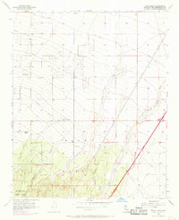
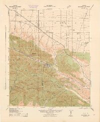
1956 Map of Baldy Mesa
USGS Topo · Published 1969About this map
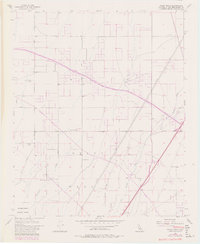
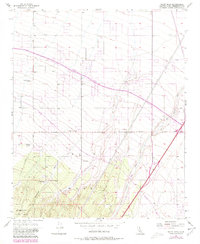
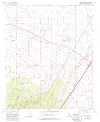
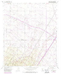
Baldy Mesa dominates the landscape of this High Desert transition zone, where the northern slopes of the San Gabriel Mountains meet the Mojave. The map reveals a land defined by vast alluvial fan drainages like Oro Grande Wash and Manzanita Wash, which cut through the arid terrain. Settlement in the mid-1950s is sparse and rural, characterized by isolated holdings such as Yucca Forest Ranch and Patterson Ranch, likely reflecting the ranching and early agricultural efforts in this challenging environment.
Find a feature on this map
21 named features on this map. Tap any name to fly to it.
Don’t see what you’re looking for? This feature index may not catch every label — zoom into the map to look around manually.
Map Details
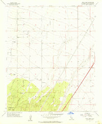
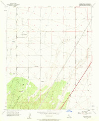
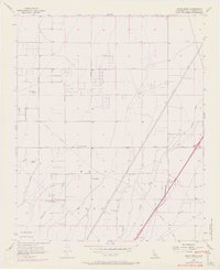
Editions of this 1956 Baldy Mesa Map
8 editions found
Other maps of this area

1901 · Southern California Sheet No. 1
USGS Topo · 1:250,000

1902 · Hesperia
USGS Topo · 1:62,500

1903 · San Antonio
USGS Topo · 1:62,500

1904 · Southern California Sheet No. 1
USGS Topo · 1:250,000

1932 · Barstow
USGS Topo · 1:125,000

1934 · Barstow
USGS Topo · 1:125,000

1937 · Shadow Mountains
USGS Topo · 1:48,000
1942 · San Antonio
USGS Topo · 1:62,500

1942 · Hesperia
USGS Topo · 1:62,500

1942 · Shadow Mountains
USGS Topo · 1:62,500