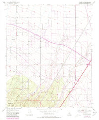
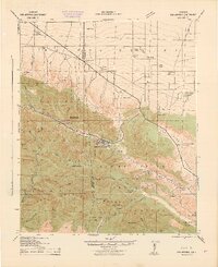
1956 Map of Baldy Mesa
USGS Topo · Published 1980About this map
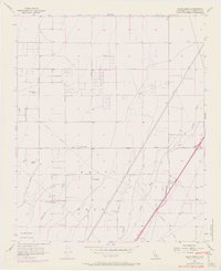
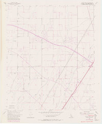
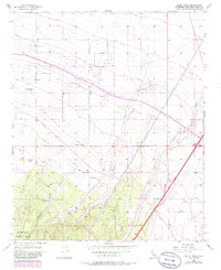
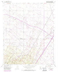
Baldy Mesa stands as a prominent geographic feature in this desert landscape, where the northern slopes of the San Bernardino National Forest transition into the high desert floor. The 1956 survey, updated with 1980 photorevisions, documents the arrival of the California Aqueduct, which cuts across the terrain as a modern infrastructure lifeline. This era shows a landscape shifting from early 20th-century ranching toward new transport corridors, while still retaining the footprint of local landholdings like Yucca Forest Ranch and Patterson Ranch.
Find a feature on this map
20 named features on this map. Tap any name to fly to it.
Don’t see what you’re looking for? This feature index may not catch every label — zoom into the map to look around manually.
Map Details
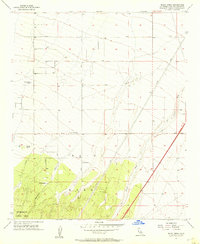
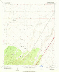
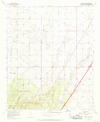
Editions of this 1956 Baldy Mesa Map
8 editions found
Other maps of this area

1901 · Southern California Sheet No. 1
USGS Topo · 1:250,000

1902 · Hesperia
USGS Topo · 1:62,500

1903 · San Antonio
USGS Topo · 1:62,500

1904 · Southern California Sheet No. 1
USGS Topo · 1:250,000

1932 · Barstow
USGS Topo · 1:125,000

1934 · Barstow
USGS Topo · 1:125,000

1937 · Shadow Mountains
USGS Topo · 1:48,000
1942 · San Antonio
USGS Topo · 1:62,500

1942 · Hesperia
USGS Topo · 1:62,500

1942 · Shadow Mountains
USGS Topo · 1:62,500