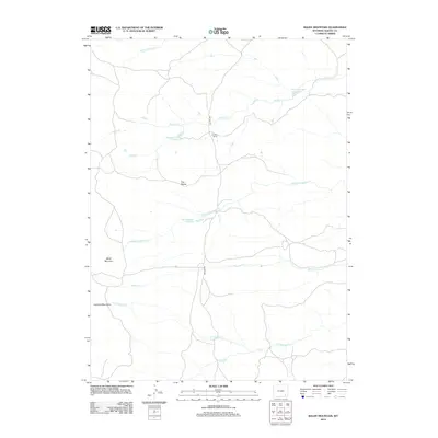
2012 Map of Baldy Mountain
USGS Topo · Published 2012About this map
Greaser Ranch stands as a primary point of human settlement in this high-altitude landscape within the Laramie Mountains. This 2012 survey illustrates the sophisticated water management required for ranching and resource use in the Wyoming interior, evidenced by a series of engineered catchments including Strong Number 1 Reservoir, Strong Number 4 Reservoir, and Bliss Number 1 Reservoir. These reservoirs are linked by a complex drainage network where Strong Cr and Middle Sybille Cr cut through the terrain.
Find a feature on this map
14 named features on this map. Tap any name to fly to it.
Don’t see what you’re looking for? This feature index may not catch every label — zoom into the map to look around manually.
Map Details
Editions of this 2012 Baldy Mountain Map
This is the sole edition of this map. No revisions or reprints were ever made.
Other maps of this area

1895 · Laramie
USGS Topo · 1:125,000

1902 · Laramie
USGS Topo · 1:125,000

1905 · Sherman
USGS Topo · 1:125,000

1905 · Laramie
USGS Topo · 1:125,000

1906 · Laramie
USGS Topo · 1:125,000

1908 · Laramie
USGS Topo · 1:125,000

1948 · Ragged Top Mountain
USGS Topo · 1:62,500

1950 · Ragged Top Mountain
USGS Topo · 1:62,500

1954 · Cheyenne
USGS Topo · 1:250,000

1955 · Bosler SE
USGS Topo · 1:24,000