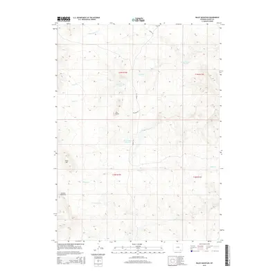
2015 Map of Baldy Mountain
USGS Topo · Published 2015About this map
The Laramie Mountains dominate this high-altitude landscape of Albany County, where the prominent peak of Baldy Mtn stands as a focal landmark. The terrain is defined by a series of significant drainages and water management features, including the Strong Number 4 Reservoir and Bliss Number 1 Reservoir, which sit at the heart of an complex creek system. Several major waterways originate or traverse here, including Middle Sybille Cr in the north and the upper reaches of S Chugwater Cr and Middle Chugwater Cr further south.
Find a feature on this map
19 named features on this map. Tap any name to fly to it.
Don’t see what you’re looking for? This feature index may not catch every label — zoom into the map to look around manually.
Map Details
Editions of this 2015 Baldy Mountain Map
This is the sole edition of this map. No revisions or reprints were ever made.
Other maps of this area

1895 · Laramie
USGS Topo · 1:125,000

1902 · Laramie
USGS Topo · 1:125,000

1905 · Sherman
USGS Topo · 1:125,000

1905 · Laramie
USGS Topo · 1:125,000

1906 · Laramie
USGS Topo · 1:125,000

1908 · Laramie
USGS Topo · 1:125,000

1948 · Ragged Top Mountain
USGS Topo · 1:62,500

1950 · Ragged Top Mountain
USGS Topo · 1:62,500

1954 · Cheyenne
USGS Topo · 1:250,000

1955 · Bosler SE
USGS Topo · 1:24,000